Walking Mexico City out of the fog
FOG covers the entire world map, including all of the Valley of Mexico. Nothing clears it but your own feet, and this is a city where that will take you years.
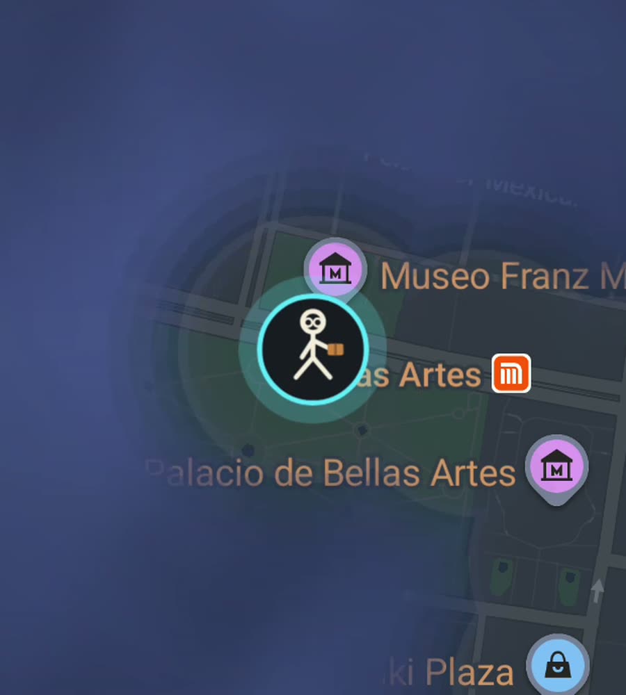
Mexico City on the FOG map, fog burned away along a walked route running from the Zocalo out through Roma Norte.
Flat ground, thin air, and a lot of it
Two things shape walking here. The first is that the valley floor is flat, so distance is easy on the legs. The second is that you are at about 2,240 metres, and if you have just arrived that shows up as breathlessness on the first day or two even on level ground.
The third thing is size, and it is the one that matters most for a fog map. The built up area runs for tens of kilometres in every direction. You are not going to clear it. Accept that early and the city becomes fun instead of demoralising, because you get to choose which neighbourhoods you actually want lit.
Pavement is another honest note. Mexico City is sinking into an old lake bed, unevenly, and the sidewalks show it. Cracked slabs, sudden steps and tilted kerbs are normal. Watch your feet.
The classic afternoon walk
Start in the Zocalo, one of the largest city squares anywhere, with the cathedral on one side and the Templo Mayor ruins just off the corner. Walk west along Calle Madero, which is pedestrian only and usually packed, past the Torre Latinoamericana to the Palacio de Bellas Artes.
Cut through the Alameda Central, then pick up Paseo de la Reforma and follow it southwest. Reforma is a wide diagonal boulevard with a tree lined median and a roundabout every few hundred metres, including the Angel de la Independencia. From there drop south into Roma Norte and finish on Avenida Alvaro Obregon.
That is roughly six or seven kilometres, and it cuts a clean diagonal stripe across the fog, joining the historic grid to the boulevards to the early twentieth century neighbourhoods. On Sundays Reforma closes to cars, which makes the middle section considerably more pleasant.
Neighbourhoods that fill in well
Roma Norte and Condesa are the best return on effort in the city. The blocks are short, the streets are shaded, and Condesa is built around Avenida Amsterdam, a closed oval that follows the outline of an old racetrack with Parque Mexico sitting inside it. Walk the oval once and you have a perfect ring of cleared map, which is oddly satisfying to look at.
Coyoacan gives you a small colonial core of cobbles and low walls around the Jardin Centenario, tight enough that you can finish most of it in a morning. Centro Historico is a dense regular grid laid over the old Aztec island and clears in solid blocks. Chapultepec is huge and green, and its paths add area quickly.
Polanco and the Reforma towers are the one place where a phone location can drift between tall buildings. It corrects itself once you are back on an open avenue.
Weather, air and timing
The rainy season runs roughly May to October, and the rain usually arrives in the late afternoon rather than lasting all day. Plan long walks for the morning and you will mostly stay dry. Winter mornings are cold and the afternoons are bright, which makes December to March very good walking months.
Air quality is worth checking on still days in the dry season. It is not a reason to stay in, but it is a reason to pick a park over a six lane avenue.
FOG keeps recording with the app closed and the screen off, which matters in a city where you probably do not want your phone in your hand on every street. Nothing leaves the device, there is no account and no tracking, and you can export your own data.
Questions people actually ask
Is it realistic to fill in Mexico City?
No, and the app will show you that honestly. The city percent moves in small increments. Most people pick a few neighbourhoods and aim to finish those instead.
Which area gives the best fog cleared per hour?
Roma Norte, Condesa and Centro Historico. Short blocks, flat ground and a dense connected street grid, so you cover a lot without walking huge distances.
Does the metro count?
No. Only what you walk is revealed. The metro is useful for reaching a neighbourhood you want to clear, then walking back out of it.
Can I import walks I already did?
Yes, with the paid unlock. FOG imports Google Timeline exports and GPX files, so old routes through the city can be added to the map.
Is there a subscription?
No. FOG is free to explore, and one purchase of USD 5.99 unlocks unlimited ranks, every character and history import. Nothing recurring.
Start with a dark map.
FOG is free to explore. No account, no subscription, and your map never leaves your phone.
free to explore · one purchase unlocks everything · never a subscription