Burning the fog off Miami on foot
FOG hides the whole world under fog and only your own footsteps take it away. Miami makes you work for that, because outside a handful of pockets this is not a city built for people walking.
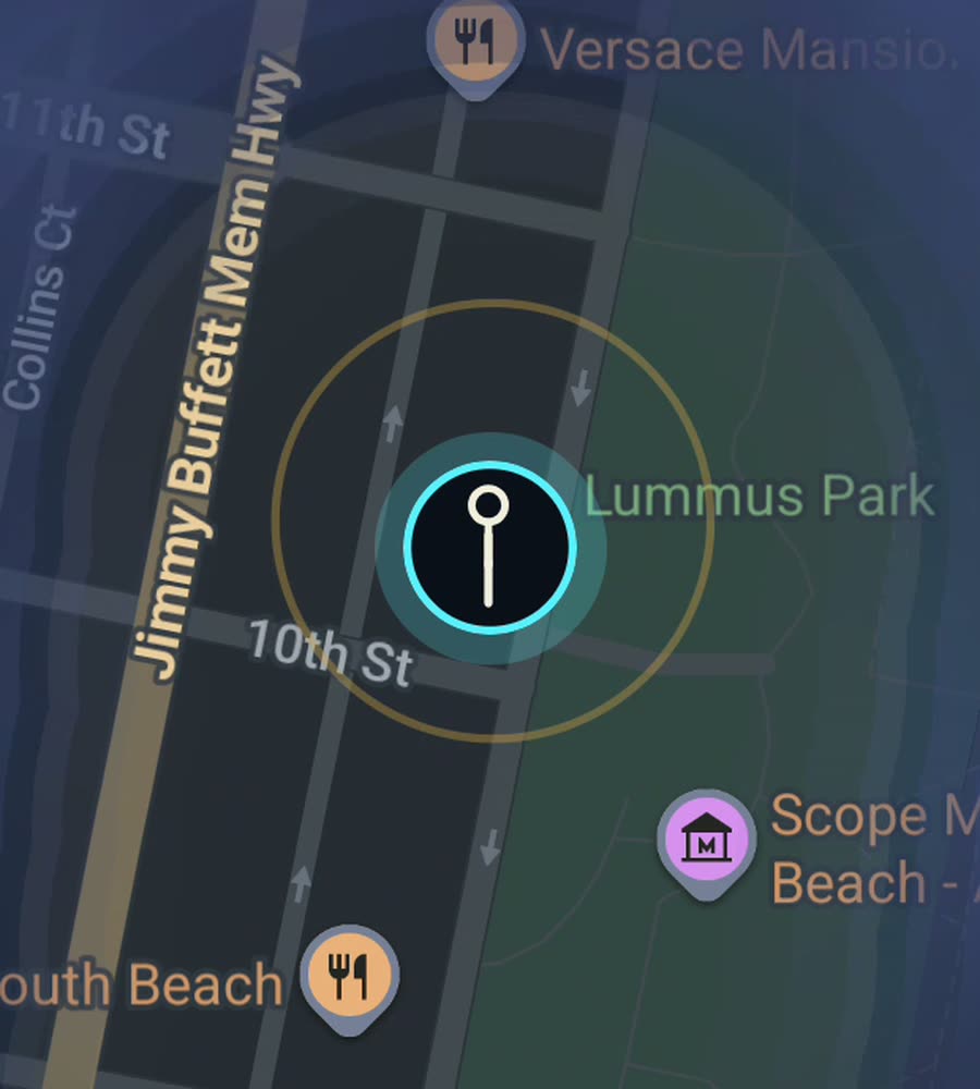
Miami on the FOG map, with the fog cleared in a long stripe up the beach and a dense patch inland where the route looped.
An honest word about walking here
Miami is flat. Nothing else about it is easy on foot. The street system is a numbered grid split into four quadrants counted out from Flagler Street and Miami Avenue, which is logical and easy to read, but the blocks are long, the arterials are wide, and highways cut the map into pieces that do not connect for pedestrians.
What that means for a fog map is that Miami is a city of islands. There are places where walking is genuinely good, and between them there are long stretches where you are on a shoulder next to six lanes of traffic with nothing to look at. If you try to walk from one good pocket to the next you will spend most of the day clearing fog off roads nobody wants to be on.
The better plan is to accept the islands and clear them properly.
The pockets worth clearing
Miami Beach is the best of them. The beachwalk runs continuously behind the dunes for miles, from South Pointe Park up through South Beach, past the Art Deco frontage of Ocean Drive and on north. Lincoln Road is pedestrian only. The side streets between Ocean, Collins and Washington are short and connect properly, so the fog comes off in a solid block rather than a thread.
On the mainland, Brickell is dense and walkable, Downtown works around Flagler and Bayfront Park, and Little Havana gives you Calle Ocho, Domino Park and a low rise grid you can wander for an hour without repeating yourself. Wynwood is an old warehouse grid with short blocks and painted walls, easy to cover on foot. Coconut Grove is leafier and more scattered, and the Design District is small.
An afternoon route
Start at South Pointe Park at the southern tip of the beach, where you can watch ships come through Government Cut. Walk north on the beachwalk, then cut inland at Fifth Street and zigzag the numbered streets between Ocean Drive and Washington Avenue up to Lincoln Road. Walk Lincoln Road end to end, then come back south along Collins.
That is a comfortable six or seven kilometres and it produces one of the neater shapes you can make in this city, a long stripe along the sand with a filled rectangle hanging off it. Do it early. By the middle of the day in summer the sand and the pavement are both punishing.
For a mainland version, park the car once and do Wynwood on foot, then walk south into the Design District. Short blocks, flat, and a lot of ground for the distance.
Heat, storms and tall buildings
The climate is the real constraint. From roughly May to October the combination of heat and humidity makes long midday walks a bad idea, and the afternoon thunderstorms arrive fast and hard. Hurricane season overlaps the same months. November to April is the walking season and it is genuinely excellent, warm and dry and bright.
Brickell is the one place where a phone location can wander. The towers are close together and tall, and a route through the middle of them can read a little loose. It tightens up again on the open avenues and along the bay.
FOG keeps revealing with the app closed and the screen off, so you can put the phone away and just walk. Nothing is uploaded, there is no account, and the map never leaves the device.
Questions people actually ask
Is Miami a good city for a fog of war map?
It is a mixed one. The walkable pockets fill in beautifully. The distances between them are long, hot and unpleasant on foot, and the city percent reflects that.
Where should I start?
South Beach. The beachwalk plus the short numbered streets behind it give you the most cleared ground per kilometre anywhere in the city.
Does driving between neighbourhoods count?
No. FOG reveals what you physically walk. Driving to a neighbourhood and then walking it is exactly how most people use it here.
What does the one purchase include?
USD 5.99 unlocks unlimited ranks, every character and history import from Google Timeline exports or GPX files. There is no subscription.
Start with a dark map.
FOG is free to explore. No account, no subscription, and your map never leaves your phone.
free to explore · one purchase unlocks everything · never a subscription