Walk Seattle and take the fog off it
FOG puts the whole world under fog, including every street in Seattle. The only way to clear it is to physically walk it. What you walk stays lit.
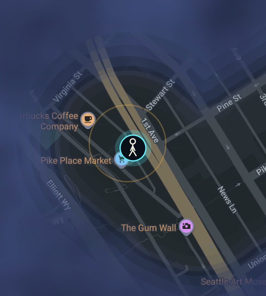
Seattle on the FOG map, with the fog burned off along a walked route from Pioneer Square through downtown to the Elliott Bay waterfront.
What walking Seattle is actually like
Seattle is not one grid. The downtown grid is tilted well off north, and it shears against a second grid at Yesler Way, which is why the streets around Pioneer Square meet at odd angles and why your route through the core rarely runs straight. North of Denny the pattern squares up and the avenues run properly north to south, all the way out through Fremont, Wallingford and Ballard.
Then there are the hills. Queen Anne, Capitol Hill, Beacon Hill and Magnolia all rise hard out of the flats, and the city is stitched together with public stairways: the long climb up the Counterbalance on Queen Anne Avenue, the Howe Street stairs on Capitol Hill, the smaller flights hidden between houses. Distances on a map lie here. A ten minute walk on paper can be three hundred vertical feet.
An afternoon that fills in a lot of map
A good first pass: start at Pike Place Market, drop to Alaskan Way and walk north along the water past the piers to Olympic Sculpture Park. Cut inland into Belltown, take any avenue up to Seattle Center, then push up Queen Anne Avenue to Kerry Park for the view back over the whole area you just lit. That is roughly two hours at a normal pace and it clears a solid block of downtown fog.
For something flatter, the Burke-Gilman Trail runs the north side of the Ship Canal. Walk it from Gas Works Park through Fremont to Ballard, cross back over the Ballard Bridge, and you have drawn a long clean line across the north of the city. Green Lake gives you a closed loop of just under three miles if you want the fog to fill a ring.
Why the fog fills in the way it does here
Seattle is squeezed between Puget Sound on one side and Lake Washington on the other, so your lit area grows as a north-south stripe rather than a blob. Water does most of the shaping. Lake Union and the Ship Canal cut the city in half horizontally, and there are only a handful of crossings: the Fremont Bridge, the Ballard Bridge, the University Bridge, the Montlake Bridge and the Aurora Bridge above them all.
The effect on the map is distinctive. Each neighbourhood fills as its own island of cleared ground, and the bridges show up as thin threads joining them. City percent moves slowly at first because Seattle stretches a long way north and south, then accelerates once you start linking the patches together. Nothing here is a shortcut. If you want West Seattle lit, you go to West Seattle.
Honest notes before you start
Rain is less of a problem than people expect. It is mostly fine drizzle spread across the winter rather than downpours, so the walking season is the whole year if you accept being damp. The real winter limit is light: it is dark by half past four in December, and the stairways get slick.
Downtown between Third and Sixth the towers are tall and close, and GPS can drift a little in that canyon. Walk a block twice if the trace looks wrong. Background exploring means you can keep the phone in a pocket with the screen off and the map still fills in.
FOG is free to explore. One purchase of USD 5.99 unlocks unlimited ranks, every character and history import, with no subscription. If you already have years of Google Timeline data from living here, import will light up a lot of Seattle immediately.
Questions people actually ask
Does FOG do anything special for Seattle?
No. The map is the same everywhere on Earth. Only the streets differ, and Seattle's happen to be steep and cut up by water.
Will the hills mess up the tracking?
No. Elevation does not affect what gets revealed. The tall buildings downtown are more likely to nudge the trace than the hills are.
Can I see how much of Seattle I have covered?
Yes. For any city you have walked, FOG shows the percentage of it you have lit up.
Does my Seattle map get uploaded anywhere?
No. There is no account, no sign-up, no cloud, no app analytics and no tracking. The map stays on the phone, and you can export your data.
Does it work for running and riding too?
Yes. Walking, running and riding all reveal ground, anywhere on Earth.
Start with a dark map.
FOG is free to explore. No account, no subscription, and your map never leaves your phone.
free to explore · one purchase unlocks everything · never a subscription