Walk Sydney and clear the fog off the harbour
The map starts blank and black. Sydney is water, sandstone and headlands, and it comes clear as a set of fingers reaching out along the peninsulas.
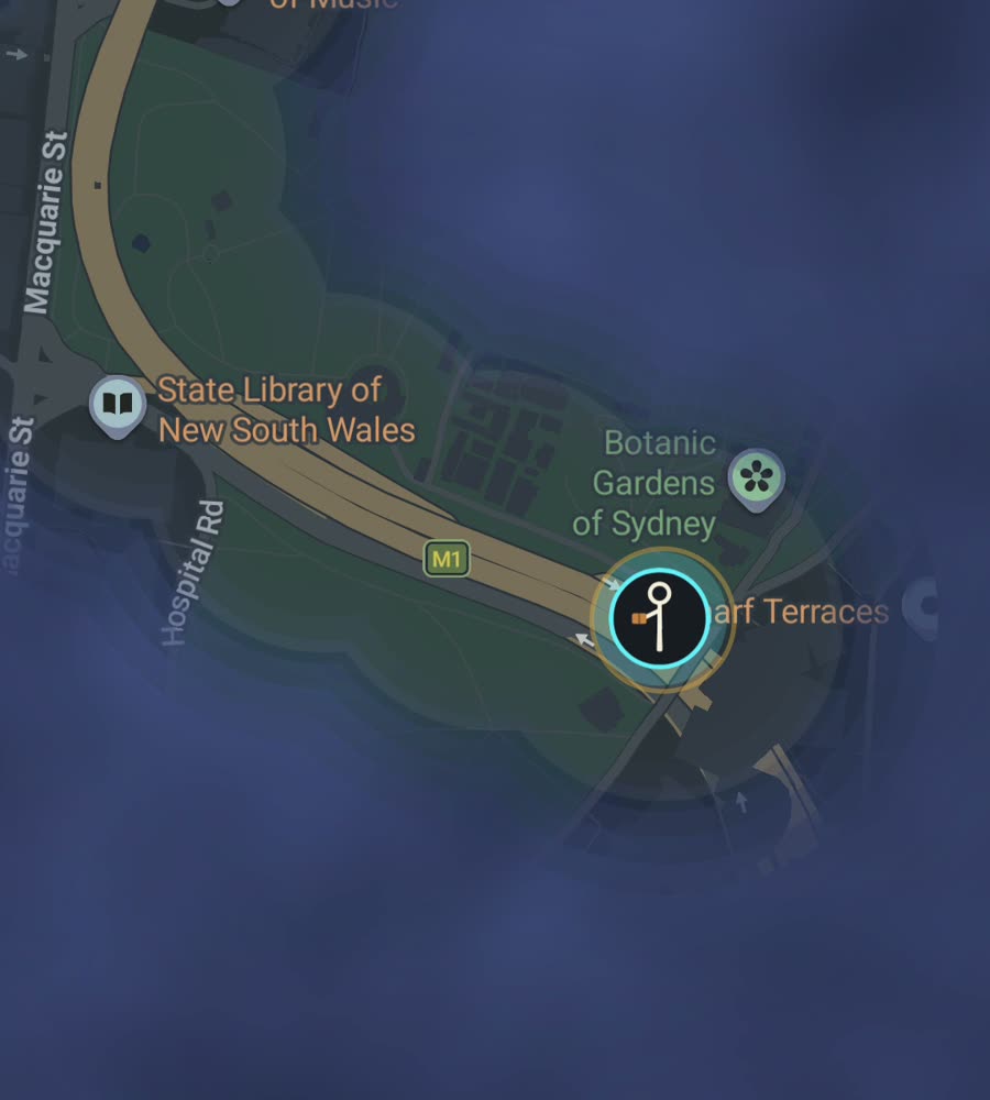
Sydney on the FOG map, with the fog burned off along a walked route around the harbour foreshore from Circular Quay.
Not a grid, a coastline
The CBD is roughly ordered, running from Circular Quay south to Central along George and Pitt, but that is where the order stops. Everything else follows the shape of the land. Roads climb ridges, drop into bays and dead end at the water, and the inner suburbs are laid over sandstone hills with terraces stepping up them. Surry Hills, Paddington, Glebe and Balmain all reward walking and none of them let you walk in a straight line for long.
The harbour is the organising fact. It reaches deep inland in a dozen arms, so the city is a set of peninsulas rather than a disc. Further west it flattens out and the suburbs run for fifty kilometres, which is a different and far less pleasant proposition on foot.
The afternoon that everyone should do
Bondi to Coogee is about six kilometres of clifftop path past Tamarama, Bronte and Clovelly, with steps at every headland. It is one continuous line and it draws beautifully on the map because nothing interrupts it.
For the harbour instead, start at Circular Quay, walk through The Rocks and up onto the Harbour Bridge walkway to Milsons Point, come back, then take the Royal Botanic Garden foreshore out to Mrs Macquarie's Chair and around to Woolloomooloo. Two to three hours, and it clears the entire top of the CBD. The inner west alternative is King Street in Newtown end to end, which is a long straight run through the densest walking district in the city.
Why filling Sydney is harder than it looks
Water makes this city expensive to cover. A point three hundred metres away across a bay can be a six kilometre walk around it, and there is no way to shortcut that on foot. Your lit ground grows as fingers pushing out along each peninsula with black water between them, and the fingers only join at bridges and the heads of bays.
Ferries do not help you. They move you, but they do not reveal the suburb at the other end, so Manly stays dark until you walk Manly. On the other hand, the same geometry makes small wins feel large. Finishing a peninsula like Balmain or Vaucluse is achievable in a few sessions, and the shape it leaves on the map is unmistakable. The western suburbs are the honest problem: car built, spread thin, and genuinely slow going.
Sun, hills and practical notes
Sydney walking is a year round proposition, which is not something you can say about most cities on this list. Winter is mild and dry and probably the best covering season. Summer is hot and humid with severe UV, and the middle of the day in January is worth avoiding, particularly on the exposed coastal path where there is no shade at all. Southerly busters arrive with very little warning.
The CBD towers between Martin Place and Barangaroo can make the trace wander a little, though the city core is small enough that it does not cost you much. Elsewhere the low buildings and open sky keep it clean. Background exploring keeps the map filling with the app closed and the screen off.
Free to explore. One purchase of USD 5.99 unlocks unlimited ranks, every character and history import. No subscription.
Questions people actually ask
Do ferry rides reveal the far shore?
No. FOG reveals ground you cover, so the suburb on the other side stays dark until you walk its streets.
Can I import my old Sydney walks?
Yes. History import takes Google Timeline exports and GPX files, and it comes with the one-time unlock.
Does FOG have Sydney routes or a guide?
No. There are no curated routes, guides or local features. It is the same map everywhere and it only clears where you walk.
What is tracked about me?
Nothing leaves the phone. No account, no sign-up, no cloud, no app analytics, no ads. You can export your own data.
Does riding count?
Yes. Walking, running and riding all reveal ground.
Start with a dark map.
FOG is free to explore. No account, no subscription, and your map never leaves your phone.
free to explore · one purchase unlocks everything · never a subscription