Toronto under fog, until you walk it
FOG covers the world map and only your own feet remove it. Every block of Queen West, every ravine path, every stretch of the boardwalk you actually walk stays lit.
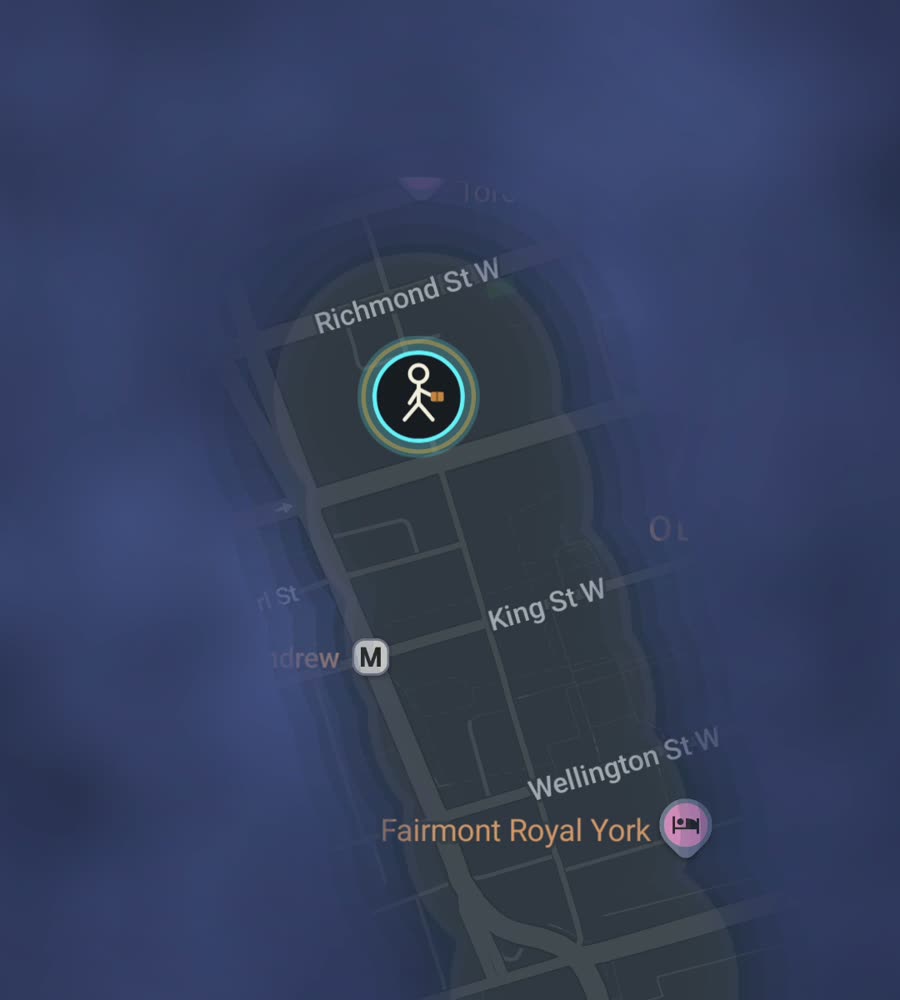
Toronto on the FOG map, the fog burned off along a walked route through Kensington Market and west along Queen Street.
The grid, and the ravines that ignore it
Toronto is a concession grid laid over a lake shore, and it is relentlessly legible. Yonge Street splits the city east from west, and the big cross streets (Queen, Dundas, College, Bloor, St Clair, Eglinton) sit at intervals you can feel in your legs. The blocks are long. A walk that looks like six squares on a map is an hour on the ground.
The exception is the ravines. The Don Valley, the Rosedale ravine, Cedarvale and the Humber cut through the grid and refuse to join it, so crossing from one side to the other usually means climbing to a bridge and coming back down. The land tilts too. The old lake shoreline is still there as the climb north of Davenport Road.
A route that covers three neighbourhoods
Start in Kensington Market and walk the interior streets, not just Augusta, because the small ones are where the fog stays. Come out onto Dundas, go west to Trinity Bellwoods, cross the park, then drop south to Queen Street West and walk it back east toward Spadina. Add Ossington and the residential streets north of Queen if you have the time.
That is a couple of hours and it fills a genuinely contiguous piece of the west end. The eastern equivalent runs from the Distillery District up through Corktown into Leslieville, then out to the Beaches boardwalk, which is flat, straight, and adds a long lit edge along the lake in one go.
Coverage here is a numbers problem
Toronto is big. The amalgamated city covers hundreds of square kilometres of mostly low rise residential grid, so the city percent climbs slowly no matter how hard you walk. Downtown feels quick because the blocks are small and dense. North of Bloor the same effort buys noticeably less lit map.
The upside is that the grid is forgiving. Walk a rectangle of six residential streets and you come out with a solid filled patch rather than a thread, and because side streets connect at both ends there is almost no backtracking. Nobody finishes Toronto. You finish neighbourhoods, and the map ends up as a set of islands that slowly grow into each other.
Winter, and the underground problem
January and February are the honest limit. The cold itself is workable with layers, but the wind coming off the lake up the north to south streets is not, and salt and ice make everything slow. March through November is the real season, with humid stretches in July and August that push routes onto the shaded streets of the Annex or down into the ravine trails.
Downtown, the PATH runs under the towers between Union Station and Dundas. It is a good way to get around in February and a poor way to fill in a map, because underground there is nothing for a phone to fix a position against. If you want the financial district lit, walk it on the surface, and expect positioning between the towers to be noisier than anywhere else in the city.
Questions people actually ask
Does FOG suggest walks around Toronto?
No. There are no routes, guides or local content of any kind. It is one world map, hidden under fog, and only walking removes it. Where you go is entirely your problem.
Will it keep working in winter with my phone in a coat pocket?
Yes. Background exploring reveals the map with the app closed and the screen off, which is the usual way to use it when it is minus fifteen outside.
Can I import the walking I have already done?
Yes, as part of the paid unlock. FOG imports Google Timeline exports and GPX files.
What does it cost and is there a subscription?
Exploring is free. One purchase of USD 5.99 unlocks unlimited ranks, every character and history import. There is no subscription, ever.
Does it show a percentage for Toronto specifically?
Yes. For any city you have walked, the app shows what percentage of it you have lit up.
Start with a dark map.
FOG is free to explore. No account, no subscription, and your map never leaves your phone.
free to explore · one purchase unlocks everything · never a subscription