Walk Washington DC and clear the fog
FOG covers the whole world map, including every lettered street and every state-named avenue in DC. You get the city back one block at a time, on foot.
Washington DC under the FOG map, with the fog burned away in a clean line along a walked route.
A city that was drawn before it was built
Washington is one of the few American cities where the street plan is a document. L'Enfant laid down a grid, then cut diagonal avenues across it and dropped circles and squares wherever the diagonals collided. Walking it means you are constantly meeting a five-way intersection where a numbered street, a lettered street and an avenue all arrive at once. Dupont Circle, Logan Circle, Thomas Circle, Scott Circle. On a fog map this reads beautifully, because the diagonals cut long clean strokes across the checkerboard you have already filled in.
The addressing helps more than you expect. Numbered streets run north-south, lettered streets run east-west (there is no J Street), and everything is stamped NW, NE, SW or SE off the Capitol. Once that clicks you can plan coverage in your head instead of on the screen. Pick a lettered street and walk it until it stops.
The terrain is mild through most of the core. The Mall and downtown are flat river-plain. It only tilts once you go north out of the flats and up towards Columbia Heights, Mount Pleasant and Woodley Park, where the ground climbs and Rock Creek cuts a deep wooded gash straight through the middle of the map.
An afternoon that fills a lot of fog
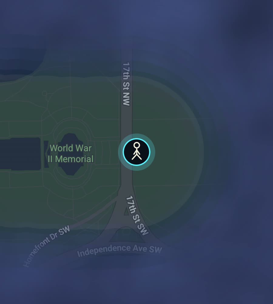
A good greedy route: start at the Lincoln Memorial and walk the length of the Mall east past the Washington Monument to the Capitol. It is longer than it looks in photographs, roughly two miles of open ground, and it lights up a wide corridor with almost no navigation required.
From the Capitol, drop south and east into Capitol Hill and walk the residential grid around Eastern Market, then Barracks Row on 8th Street SE. If you have more in you, come back west and north through Penn Quarter, up 14th Street NW through Logan Circle to U Street and Shaw. That single arc crosses four or five distinct neighbourhoods and turns a large connected blob of the northwest quadrant from grey to clear.
The other classic is Georgetown. Walk M Street and Wisconsin Avenue, then the C&O Canal towpath, then out along the waterfront. The old Georgetown blocks are tight and brick and fill in fast.
Why DC fog is satisfying, and where it gets tedious
The reward here is geometric. Most cities give you an irregular stain. DC gives you a lattice, and the diagonals make it obvious at a glance which quadrant you have actually worked and which you have only visited. Filling the blocks between two avenues feels like colouring inside lines somebody else drew.
The tedium comes from the monuments and the parks. Big federal parcels, the Mall, the Ellipse, the Tidal Basin and the enormous green void of Rock Creek Park all read as area you cannot easily thread with streets. Rock Creek in particular splits the northwest from the rest, and the crossings are limited, so coverage on one side does not naturally spill to the other.
Then there is the summer. DC was built on humid low ground and July and August genuinely limit how far you will walk in an afternoon. Spring and autumn are the productive seasons. Winter is fine and often the best walking of the year.
Practical notes for walking here
Downtown DC has a height limit, so you rarely get the deep glass canyons that make GPS wander in other American cities. Positioning around K Street and Farragut is usually clean. Underground is a different matter: the Metro will not record anything, so a trip that dips into Metro Center and pops out at Woodley Park leaves a gap, not a line.
Background exploring covers the rest. Put the phone away, keep walking, and the map keeps clearing with the screen off. If you have years of Google Timeline history from living here, the paid unlock imports it and back-fills the routes you already walked before you had the app.
- Flat core, hills to the north, one big creek valley in the middle.
- Free to explore. One purchase of USD 5.99 unlocks unlimited ranks, every character and history import. No subscription.
- No account, no cloud, no tracking. The map stays on your phone.
Questions people actually ask
Does FOG have anything specific to Washington DC?
No. There are no DC routes, guides or partnerships in the app. The map is the same everywhere on Earth. Only the streets you walk differ.
Will the Metro fill in the map between stations?
Not underground. FOG reveals where your phone actually is, and the tunnels give it nothing to work with. Walk the surface if you want the line.
Can I see how much of DC I have covered?
Yes. For any city you have walked, FOG shows the percentage of it you have lit up.
Can I import the walking I did before installing FOG?
Yes, with the one-time unlock. FOG imports Google Timeline exports and GPX files.
Does it drain the battery if I walk all day on the Mall?
FOG keeps revealing with the app closed and the screen off, which is the efficient way to run it. Leave it in your pocket.
Start with a dark map.
FOG is free to explore. No account, no subscription, and your map never leaves your phone.
free to explore · one purchase unlocks everything · never a subscription