Walk Amsterdam, clear the rings
In FOG the whole world starts hidden. Every street you physically walk is revealed for good. Amsterdam gives you a set of concentric arcs to close, which is oddly addictive.
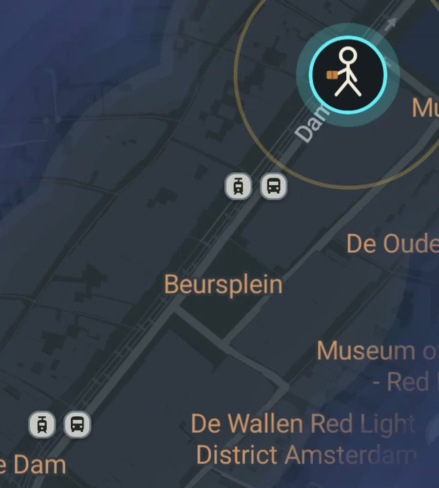
Amsterdam on the FOG map, fog burned away along a walked route through the canal rings.
A city built as a set of arcs
Amsterdam's centre is not a grid and not a medieval tangle. It is a deliberate half-moon of canals laid out from the seventeenth century: Singel, then Herengracht, Keizersgracht and Prinsengracht, with the Singelgracht outside them. Between the big canals run short cross streets, the nine little streets around the Negen Straatjes being the obvious example. That geometry means walking one canal from end to end clears a long clean arc, and walking the crosses stitches the arcs together into a filled band.
It is flat. Completely flat. The only climbs are the humped bridges, and there are hundreds of them. Surfaces are brick and stone, often uneven, and the pavements narrow sharply in the old centre. The other constant is bikes. You will be in a cycle lane without realising it. Look both ways more often than feels necessary, and do not stop to check your phone in the middle of one.
A route that closes a whole band
Start at Centraal Station and walk south into the old centre, then pick up Prinsengracht near the Noordermarkt in the Jordaan. Walk Prinsengracht south past the Anne Frank House and the Westerkerk, cutting east through the Negen Straatjes as you go so you are not just tracing one line. Continue down to the Amstel, then turn back north through the Rembrandtplein area and up the Kloveniersburgwal.
If you have more time, cross the Amstel into De Pijp and comb the streets around the Albert Cuyp market, which is a tight regular grid and clears fast. Or go the other way and take the free ferry behind Centraal to Amsterdam Noord, where the walking is completely different: wide, open, half industrial, and almost nobody on foot.
Why the fog clears well here, and where it does not
The centre is compact. You can cover a genuinely large fraction of it in a few days of ordinary walking, and because the canal band is a distinct shape, a partly cleared Amsterdam looks like something rather than looking like noise. That is a real part of the appeal.
The honest complications are two. First, the canals mean you cannot walk in a straight line. Getting from one side of a block to the other often means going the long way round to a bridge, which is fine, but it slows the rate at which area clears. Second, the tall narrow houses along the canals form fairly close-sided streets, and GPS can wander a little in the tightest lanes near the Wallen. Not badly, but you may see a route that looks like it stepped into a canal.
Outside the centre, the west and south districts (Oud-West, Oud-Zuid, Bos en Lommer) are regular and pleasant walking, and Vondelpark and the Amstelpark give you large open areas that clear quickly. Weather is the real limiter. Rain is frequent and horizontal, and the winter days are short. The compensation is that Amsterdam in drizzle is not a bad place to be walking.
How the app fits into it
FOG works in the background with the screen off, which suits a city you mostly cross on foot anyway. There is no account, no sign-up, no cloud, no app analytics, no ads and no tracking. The map never leaves the phone, and your data is exportable.
Free to explore. One purchase at USD 5.99 unlocks unlimited ranks, every character and history import, permanently, with no subscription. History import reads Google Timeline exports and GPX files, so if you have lived here a while, you can reveal years of canal walking at once.
Ranks climb by area covered: Wanderer, Scout, Pathfinder, Explorer, Voyager. The collection covers 241 countries, 3,390 regions and 7,342 named places, and you only get them by standing in them.
Questions people actually ask
Is Amsterdam a good city to walk?
Very. It is flat, compact and dense, and the canal rings give the cleared map an obvious shape. The main hazards are bikes and uneven brick.
Will GPS be accurate in the old centre?
Mostly. In the tightest lanes between tall canal houses your track can drift a little. It is nothing like a high-rise downtown, but do not expect perfection.
Does FOG count cycling?
It works for walking, running and riding, anywhere on Earth. In a city where most people cycle, that matters.
Can I import my old routes?
Yes, with the paid unlock. Google Timeline exports and GPX files both import and reveal the map where you have already been.
Is there a subscription?
No. Exploring is free, and one purchase of USD 5.99 unlocks unlimited ranks, every character and history import. There is never a subscription.
Start with a dark map.
FOG is free to explore. No account, no subscription, and your map never leaves your phone.
free to explore · one purchase unlocks everything · never a subscription